-min")
The Danube River (“Dunărea” in Romanian) is a heritage treasure from almost all possible points of view (nature – culture, not forgetting economy’s point of view). As you might know, it is the second largest river in Europe (after the Volga). Its birthplace lies in the Black Forest mountains of Germany and flows for almost 3.000 km before diving into the Black Sea for a well-deserved rest. Along its journey, it passes through 10 countries: Germany, Austria, Slovakia, Hungary, Croatia, Serbia, Bulgaria, Romania, Moldova, and Ukraine. It also “visits” four Capital-cities: Vienna, Budapest, Belgrade, and Bratislava. Its basin is quite complex, it includes approximately 300 tributaries. More than 30 of these are important in size and navigable.
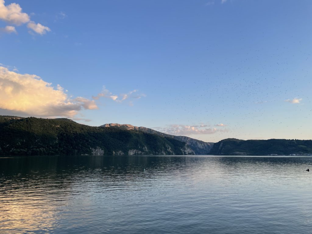
For a better grasp in size and features, we can discern among three sections in the river’s basin. Firstly, there is the Upper Course which stretches from the source in Germany to the Hungarian Gates Gorge, in the Austrian Alps and the Carpathian Mountains. Secondly, there is the Middle Course running from the Hungarian Gates Gorge to the Iron Gate in the Romanian Carpathians. Finally, the Lower Course begins at the Iron Gate and ends with a deltaic estuary at the Black Sea. In this article, we will have a closer look at the Middle and Lower Courses meeting point. In this area, the river valley is imposing in looks, depth and current velocity. These last two coordinates tend to greatly fluctuate in this region.
Considering Its History
During the 7th century BCE, Greek sailors were conducting trade on the lower Danube. They named it the Ister. The river later formed the Northern boundary of the vast Roman Empire and was called the Danuvius. A Roman fleet used to patrol its waters. Old fortresses played an important role during the Middle Ages, while new castles were being erected. Then, the Ottoman Empire relied on the string of fortresses along Danube’s banks for defence. Later, Maria Theresa founded a state department in charge with overseeing river navigation. Since this milestone, the Danube has been the subject of numerous international agreements. The Treaty of Paris (1856) set, among other matters, the first Danubian Commission with the precise objective of supervising the river as an international waterway. Due to hostilities during World War II, free international navigation along the course of the Danube was interrupted. Resumption of navigation was reached by consensus in 1948, due to the Danubian Convention.
Back to the Iron Gates
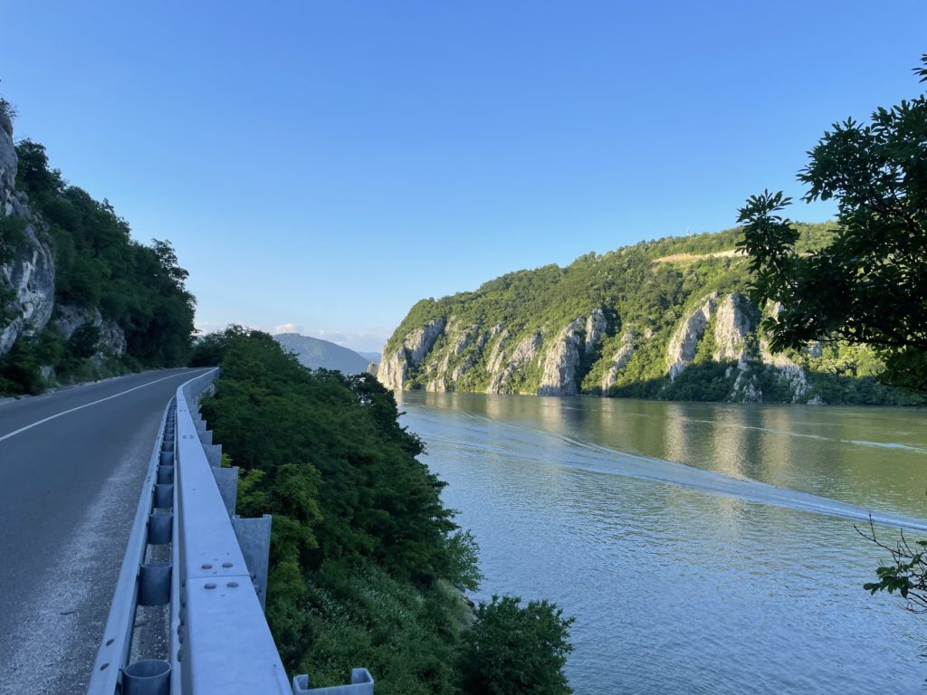
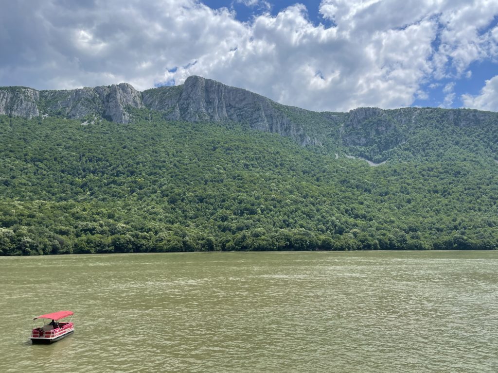
This is a gorge on the Danube. It separates Serbia (to the South) and Romania (to the North). The last stretch of this portion contains two hydroelectric dams, with two power stations. Their names are Iron Gate Hydroelectric Power Station I and II. This mega project began in 1964, as a joint Romanian and Yugoslavian (at that time) initiative. In 1972 the Iron Gate I Dam was inaugurated, followed by Iron Gate II Dam, in 1984. As mentioned above, the inaugurations came along with two hydroelectric power stations, sluices, and shipping navigation locks. The region’s canyon look comes from Danube making its way precisely through a mountainous landscape – Carpathian Mountains in Romania and the Balkan Mountains in Serbia. Two Natural Parks are representative in the region.
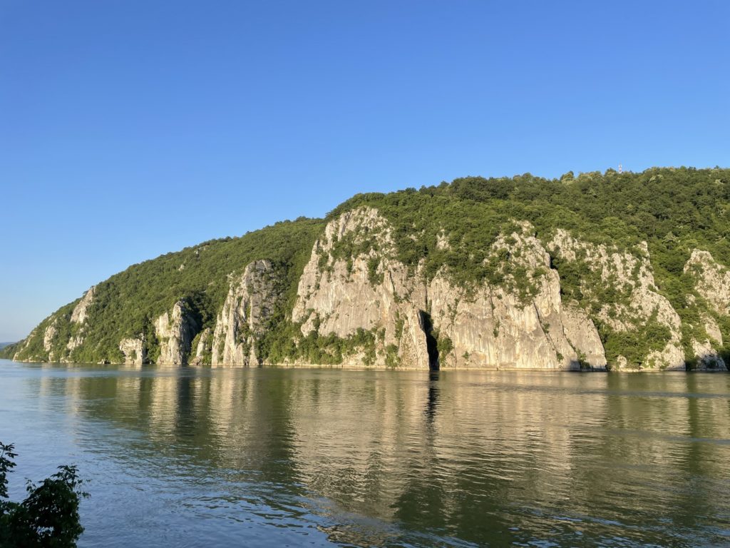
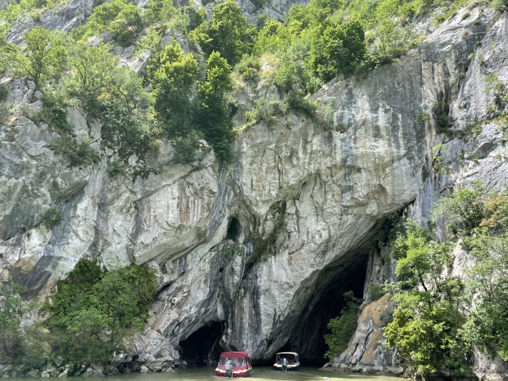
The Great Kazan and the Small Kazan
These two natural features have a total length lower than 20 km. The Orșova valley here is the last section before the river reaches the Wallachian plains in Southern Romania. Consider Kazan as a reservoir, a pool of water. The bigger one of the two is the most famous and narrowest gorge on the route. The Danube had less space to stretch its waters and so, it reaches a greater depth of up to 75 m.
Every tourist on a boat floating on deep waters stops to see the “Tabula Traiana” a Roman memorial plaque quite impressive in size (4 m wide and almost 2 m high). It was installed to commemorate the completion of Emperor Trajan’s military road. The plaque is located on the Serbian bank. In the 1970s, when the first Hydroelectric Power Station was inaugurated, due to the automatic rise in water level, the plaque had to be relocated and lifted to a secure place. Since then, the plaque has not changed location again. One can read in Latin the whole name of Emperor Trajan and his titles culminating with three verbs which can be translated to: by excavating and using wood, he made this road. In this context, connections can be drawn to Trajan’s legendary bridge.

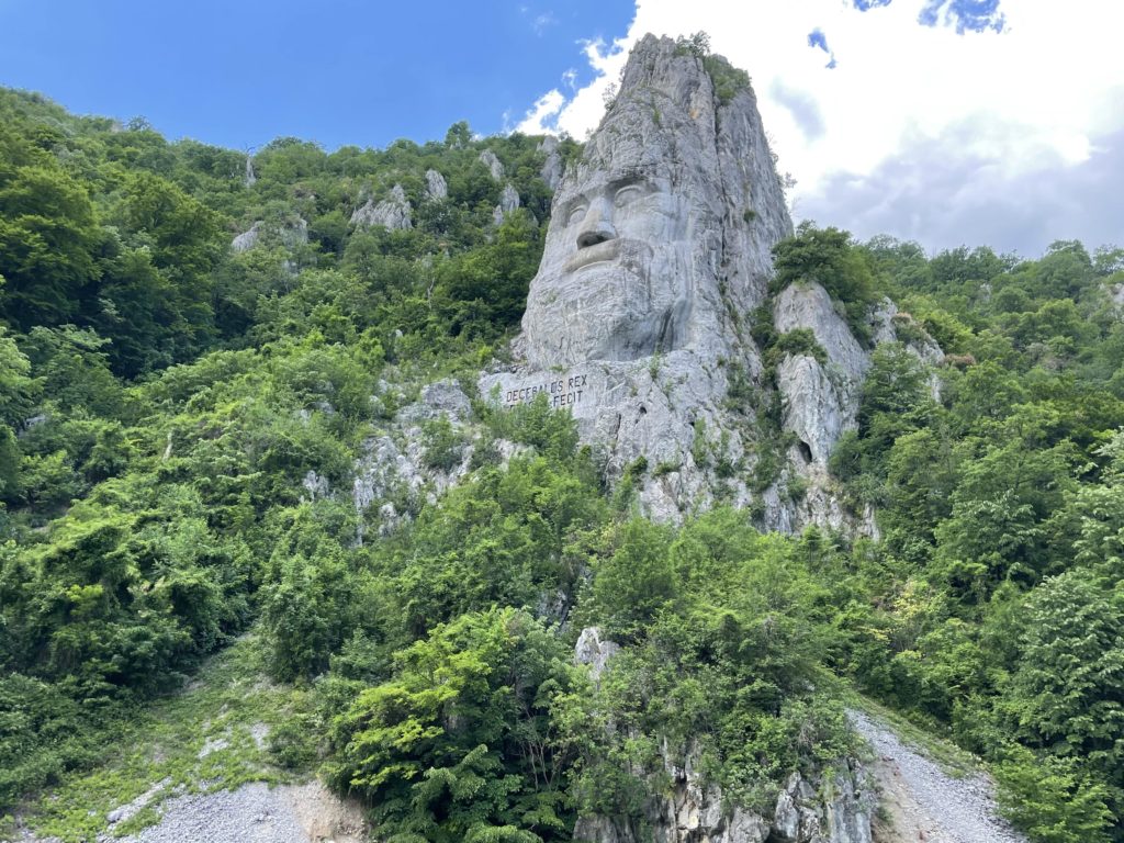
On the other side, the Romanian side, one meets Trajan’s local opponent, King Decebalus (d. in 106) in the form of a colossal rock carved sculpture. He was the last king of Dacia, who fought against the Roman emperors Domitian and Trajan. Dacians lived in the territory presently known as Romania. This sculpture might very well be the tallest rock relief in Europe with a whopping 55 m in height and 25 m in width. King’s eye alone is 4 m in width. It took 10 years (1994 – 2004) and 10 sculptors to complete this rock relief. The commissioner is a Romanian businessman.
The landscape and the bits of history on this portion of the Danube are best enjoyed by boat.
XXXXXXXXXXXXXXXXX